


Tropical Low-Pressure System And Tropical Cyclone Watch Queensland

Issue # 1 For Queensland December – January 2022 – 2023
A tropical low-pressure system could start developing as early as the 29th of December. This system could develop in the Gulf of Carpentaria.
Cyclonic formation
As it interacts with a northwest, northeast and a southeast wind pattern, the tropical system will start to rotate and move north-northeast over the far north of the state (Cape York), then move in a southeast direction once it enters the north Coral Sea.
The system is expected to intensify over the North Coral Sea as it interacts with a very favourable atmosphere.
Possibly increasing to a severe CAT 3 system or even stronger. With damaging sustained winds of 100 km/h+ and destructive maximum wind gusts of over 180km/h+.
Possible cyclone track

At this stage, the system will likely adopt a SE direction away from the QLD coastline, posing no threat to the coast.
Initially forming in the far northwest of the Coral Sea and heading parallel to the coastline, then ultimately towards New Zealand and the Cyclone Graveyard as an intense subtropical storm.
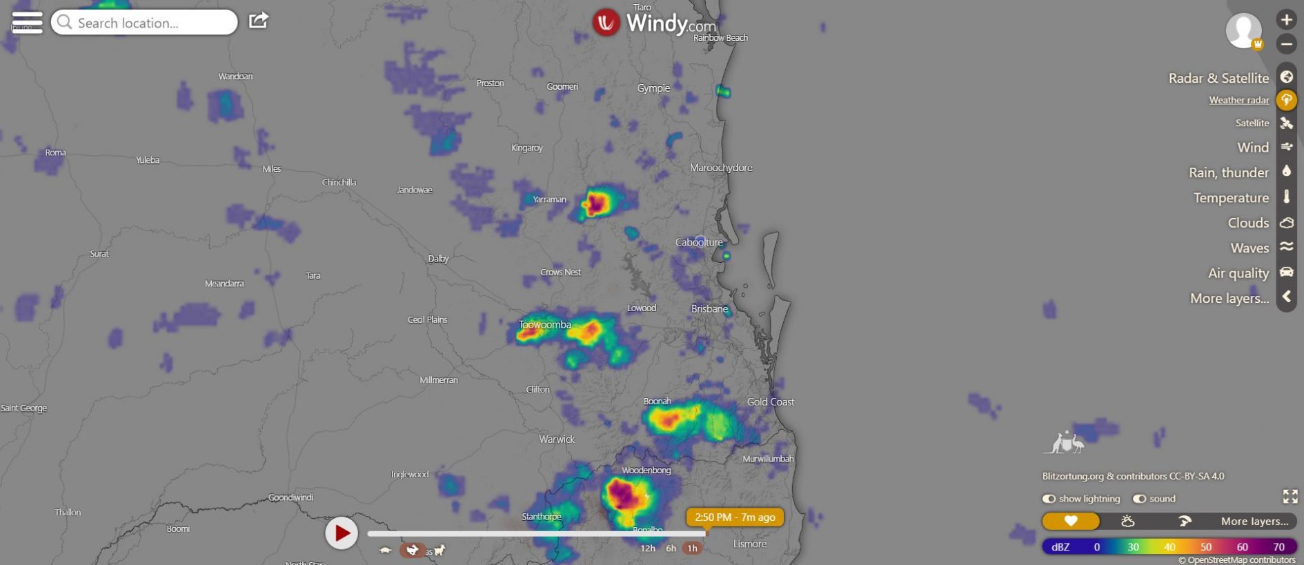
👉See Tim’s Weather Centre
For tools such as live weather radar, wind maps, and surf and swell.
👍Visit Tim’s Severe Weather Queensland
Facebook page for regular updates on the cyclone watch and warning.
👉Bureau of Meteorology Weather Warnings: http://www.bom.gov.au/qld/warnings/
It is important to note that cyclones can be extremely dangerous and can cause significant damage to property and infrastructure.
It is important to stay informed about the weather and follow local authorities’ advice if a cyclone is forecast to affect your area.
If you are in an area at risk of cyclones, it is a good idea to prepare an emergency kit and have a plan for what to do in the event of a cyclone.
Preparing for a cyclone in Queensland
If you are in an area of Queensland at risk of cyclones, it is important to be prepared for the possibility of a cyclone. Here are some steps you can take to prepare for a cyclone:
- Make a plan: Develop an emergency plan with your family or household and consider what you would do in the event of a cyclone. This should include where you would go, how you would communicate with each other, and what you would do if you cannot evacuate.
- Assemble an emergency kit: Put together a kit of supplies you will need in the event of a cyclone, including bottled water, non-perishable food, a battery-powered radio, flashlights, and any medications or medical supplies you may need.
- Stay informed: Keep track of the weather forecast and listen to the advice of local authorities. Follow evacuation orders if issued, and stay away from floodwaters and storm surges.
- Secure your property: Take steps to secure your property and protect it from potential damage. This may include boarding up windows, securing outdoor furniture, and unplugging electrical appliances.
- Protect yourself: In the event of a cyclone, staying safe and protecting yourself from the elements is important. Wear protective clothing, such as a raincoat or poncho, and take shelter in a safe, sturdy building.
By following these steps, you can help to protect yourself and your family during a cyclone. It is always better to be prepared and stay safe rather than risk injury or damage.


What is a tropical low-pressure system in Australia?
A tropical low-pressure system is a weather system that forms over warm tropical waters and is characterized by low atmospheric pressure and strong winds. It can bring heavy rain, thunderstorms, and gusty winds to the affected area.
In Australia, tropical low-pressure systems are most common in the northern and eastern parts of the country, particularly in the tropical regions of Queensland, the Northern Territory, and Western Australia.
What is a tropical cyclone watch?
A tropical cyclone watch is an alert issued by weather agencies when a tropical low-pressure system is expected to develop into a tropical cyclone within the next 24 to 48 hours.
A tropical cyclone warning is used to warn people in the affected area to begin preparing for the possibility of a tropical cyclone. Suppose a tropical cyclone watch is issued for Queensland. In that case, it means that a tropical cyclone is expected to affect the area within the next 48 hours and that people should take steps to prepare for the possibility of a cyclone.
If you are in an area of Queensland under a tropical cyclone watch, it is important to stay informed about the weather and follow local authorities’ advice. This may include preparing an emergency kit, securing your property, and following evacuation orders if they are issued. By being prepared, you can help to protect yourself and your family during a tropical cyclone.

Predicting cyclones in Australia
Depending on where they occur, cyclones, also known as hurricanes or typhoons, are large, low-pressure systems that form over warm ocean waters and can bring strong winds, heavy rain, and flooding to coastal areas.
In Australia, cyclones are most common in the northern and eastern parts of the country, particularly in the tropical regions of Queensland, the Northern Territory, and Western Australia. There are several ways that meteorologists and weather agencies can predict the formation and track of cyclones.
One method uses computer models, satellite data, weather stations, and other sources to simulate the atmosphere’s behaviour and predict a cyclone’s path. Another method is to use aircraft to fly into and around cyclones to gather data about their intensity and structure.
It is important to note that predicting the formation and track of cyclones is not an exact science, and there is always some uncertainty involved. Cyclones can be difficult to forecast because they are influenced by various factors, including sea surface temperatures, atmospheric conditions, and wind patterns, which can change rapidly.
Despite these challenges, weather agencies and meteorologists work hard to provide as accurate and timely a forecast as possible to help people prepare and stay safe during cyclones.


