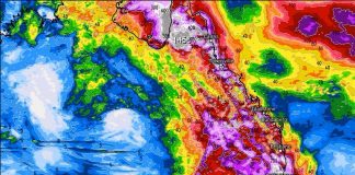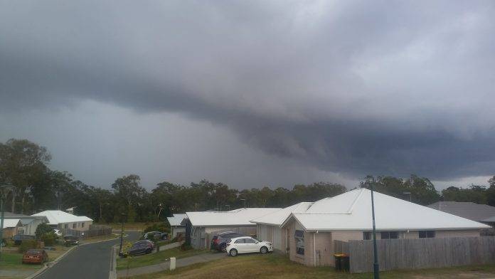
SEQ, Brisbane, Sunshine Coast Weather Forecast for the next week.
The entire Brisbane and Sunshine Coast areas are due to be drenched this week, with constant showers and thunderstorms until next Fri(30/10/2020)
Some thunderstorms may be severe with large hail, damaging winds, and torrential rain. The forecast area is in line for at least 100 mm over the next 7 days.
Queensland has been in the grip of a drought, but over the following next few summer months, we are likely to get above-average rainfall and increased cyclone risk.
A strong La Nina has developed in the coral sea and will remain in place until at least February next year. Read more about a La Nina here. You can also read about past La Nina events over the last 120 years here: La Nina History Australia
A La Nina typically brings more rain and more intense thunderstorms to the eastern states of Australia.
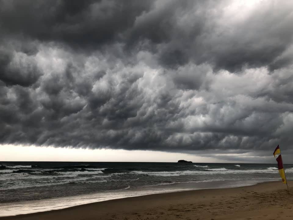
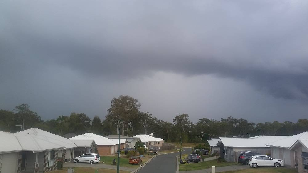
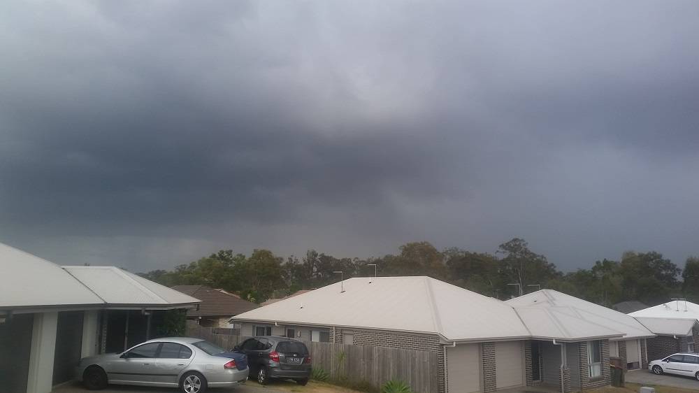
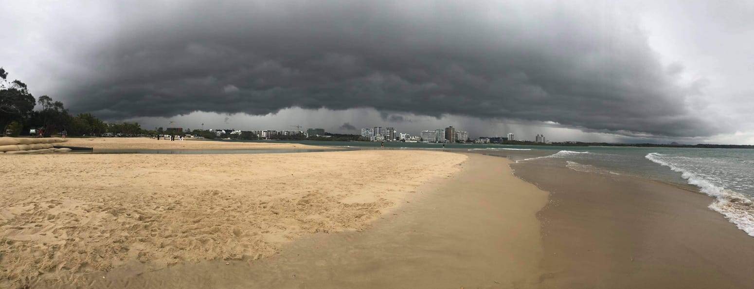
Over the next few days, there will be showers, rain, and thunderstorms developing most days over the entire SEQ area.
Visit the BOMS weather warnings page for storm warning updates: Queensland severe storm warnings
Be prepared for severe thunderstorms this season. Read the Bureau of Meteorology’s Preparation and safety during thunderstorms
For further information and live updates about Queensland weather forecasts visit:
- https://www.facebook.com/HigginsStormChasing/
- https://www.facebook.com/SevereWeatherAustralia/
- https://www.facebook.com/ozcyclonechasers
Weather Maps and Tools
- Queensland Live Weather & Lightning Radar Map
- Queensland Live Wind & Gusts Radar Map
- Queensland Live Temperature Map
- Queensland Waves & Swells Map
Sign up to received regular emails about new articles the might interest you.
Your personal information is protected by law and will not be disclosed.


