Queensland Brisbane, Sunshine Coast, Maryborough, Hervey Bay, Gympie, Bundaberg, Gladstone, Rockhampton, Cairns, Townsville, Ingham Weather Forecast 7 Days.
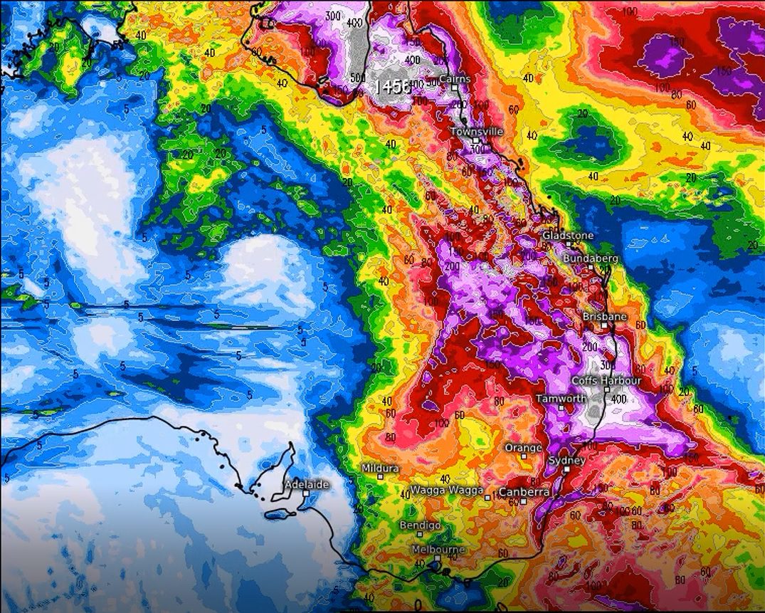
A severe weather event may develop starting in the Gulf of Carpentaria and move in a southeasterly direction down the Queensland coastline from about the 08/01/2021.
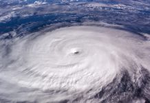
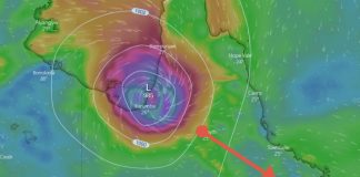
A tropical low is currently forming in the Gulf of Carpentaria in far north-west Queensland. The weather system is expected to intensify over the next 5-6 days into a tropical cyclone and dump over a metre of rain on the western side of Cape York Penninsula.
On its eastern side, heavy rainfall is expected to develop over the far northern regions of the state, from Cairns through to Townsville at first then extend southerly down the Queensland coastline.
***UPDATE*** Severe flooding through the areas north of about Cairns is expected from late tomorrow through to early next week. Falls in excess of 400mm+ are likely. Please prepare for widespread flooding in these areas.
There is a slight possibility that the cyclone could head quickly in an easterly direction into the northern Coral sea then intensify into a tropical cyclone once again east of the Townville region.
It may then head in a southerly direction parallel to the Queensland coastline causing destructive winds and heavy rainfall as it drifts southwards.
If the cyclone or intense tropical depression heads in a southeasterly direction, we can expect severe weather down the entire Queensland coastline. As far south as the Gold Coast.
Falls in excess of 400mm+ are possible with storm force winds and torrential rainfall as well as storm tides and large swells.
The system is expected to start developing over the next few days and intensify into a tropical cyclone over the Gulf of Carpentaria then move in a southeasterly direction.
This post will be updated over the following few days as to the progress of the system. You can also find the latest updates on my severe weather Facebook page: Tim’s Severe Weather Queensland
A strong La Nina event is helping to create a tropical moisture-laden atmosphere over Queensland currently and more severe systems are likely to develop over the coming months.
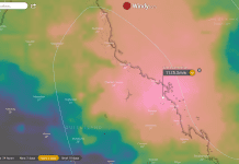
Queensland Weather Forecast Map – Lightning & Live Radar
Queensland Fire and Emergency Services advise that people should:
* Move your car under cover or away from trees.
* Secure loose outdoor items.
* Never drive, walk or ride through floodwaters. If it’s flooded, forget it.
* Seek shelter, preferably indoors and never under trees.
* Avoid using the telephone during a thunderstorm.
* Beware of fallen trees and powerlines.
* For emergency assistance contact the SES on 132 500.

- Please keep an eye on the Bureau of Meteorology Brisbane Weather radar for live storm updates.
- Also, keep an eye on the weather warnings page for Queensland.
- Be prepared for severe thunderstorms this season. Read the Bureau of Meteorology’s Preparation and safety during thunderstorms
For further information and live updates about Queensland weather forecasts visit:
- https://www.facebook.com/HigginsStormChasing/
- https://www.facebook.com/ozcyclonechasers
- https://www.facebook.com/SevereWeatherAustralia/
- https://www.facebook.com/seqweather
- https://www.facebook.com/Tims-Severe-Weather-Queensland-100157335236883/
Weather Maps and Tools
- Queensland Live Weather & Lightning Radar Map
- Queensland Live Wind & Gusts Radar Map
- Queensland Live Temperature Map
- Queensland Waves & Swells Map
Sign Up to receive the latest articles on TimsWWW straight to your email inbox.
Don’t miss out on our nature-loving articles!
(Your emails are never disclosed to third parties and are protected by law, they are also securely stored on our server)


