Brisbane and Sunshine Coast 14 Days Weather Forecast
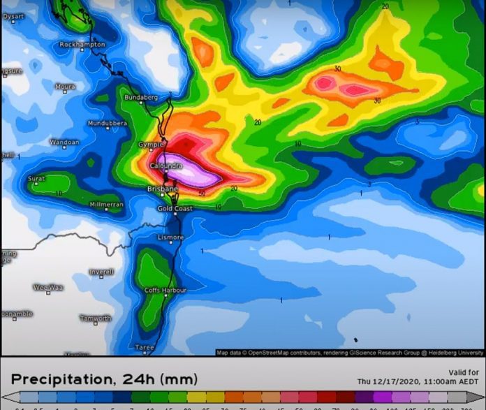
The video below shows a weather event that may play out from about Saturday the 12th of December(updated from the 10th) and subsequent days after. The first part of the video is the ECWMF model and the second is the GFS model.
Both are agreeing on one thing – a trough or a low-pressure system heading in a westerly direction from the south Coral sea towards either the Brisbane area or the Sunshine Coast and Wide Bay areas. rainfall of over 250mm+ over 3-4 days is likely. Stay tuned for updates.
The trough or low-pressure system may extend from about the north NSW coast to about the Bundaberg or Gladstone areas.

We could see some good falls over Queensland from this rain event. Keep an eye on the BOM weather forecasts as well. This could be the first decent rainfall South Queensland has seen for a while, and there is more to come.
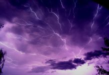
- Be prepared for severe thunderstorms this season. Read the Bureau of Meteorology’s Preparation and safety during thunderstorms
For further information and live updates about Queensland weather forecasts visit:
- https://www.facebook.com/HigginsStormChasing/
- https://www.facebook.com/SevereWeatherAustralia/
- https://www.facebook.com/seqweather
- https://www.facebook.com/ozcyclonechasers
- https://www.facebook.com/Tims-Severe-Weather-Queensland-100157335236883/
Weather Maps and Tools
- Queensland Live Weather & Lightning Radar Map
- Queensland Live Wind & Gusts Radar Map
- Queensland Live Temperature Map
- Queensland Waves & Swells Map
Sign up to received regular emails about new articles the might interest you.
Your personal information is protected by law and will not be disclosed.


