Horseshoe Bend An Arizona Landmark
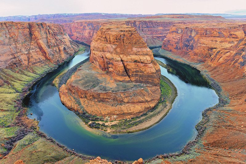
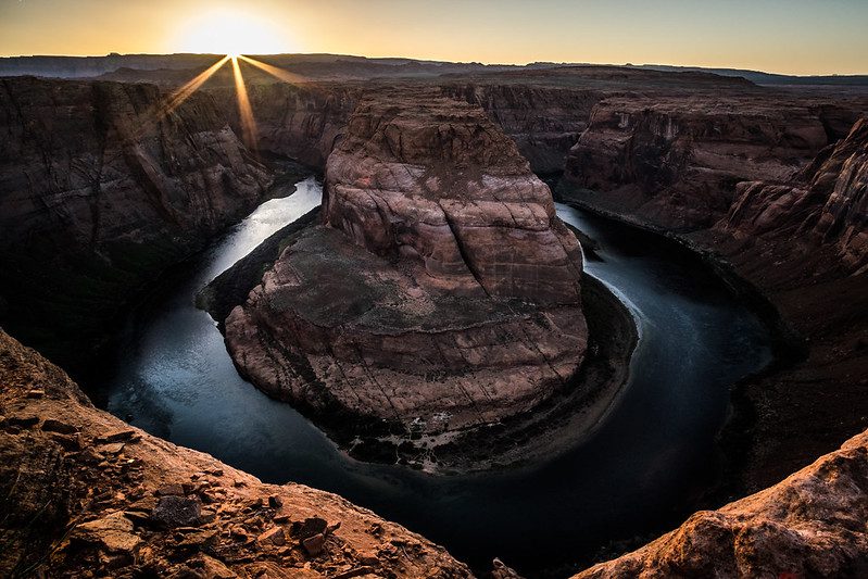
Horseshoe Bend is an incised meander that runs along the Colorado River near Page, Arizona, United States. It is also known as the “east edge of the Grand Canyon.”
Where Is Horseshoe Bend Arizona?
Horseshoe Bend can be found 5 miles (8km) downstream of the Glen Canyon Dam or Lake Powell in Glen Canyon National Recreation Area. It is approximately 4 miles (6km) southwest of Page.
Horseshoe Bend has been recognized as a landmark in Glen Canyon National Recreation Area and Grand Canyon National Park. It is also home to the Cities of Page AZ (Kanab UT), St George UT, and Navajo Nation.
Some Boundary lines can be very close. Glen Canyon National Recreation Area includes Horseshoe Bend and the Colorado River. Grand Canyon National Park starts nine miles downstream.
The City of Page has the US Highway 89 land, which is north of the Horseshoe Bend overlook trail and the parking area at the trailhead. The Navajo Nation is the land south of the parking lot and the overlook and trail. This unique combination of jurisdictions offers unique opportunities for the management of this stunning trail and overlook.
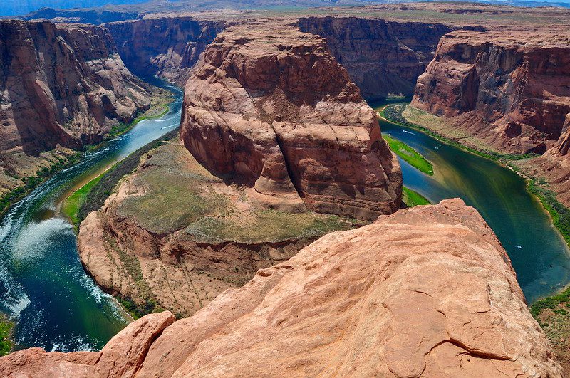
You can reach it by hiking 1.5 miles (2.4 km) roundtrip from a parking lot located just off U.S. Route 89 in southwestern Page. The Navajo Nation owns the land south of the Bend’s overlook, parking area, and trail.
Horseshoe Bend is very popular before sunset. Large groups of tourists hike the 1/2 mile down to the overlook point. (2019).
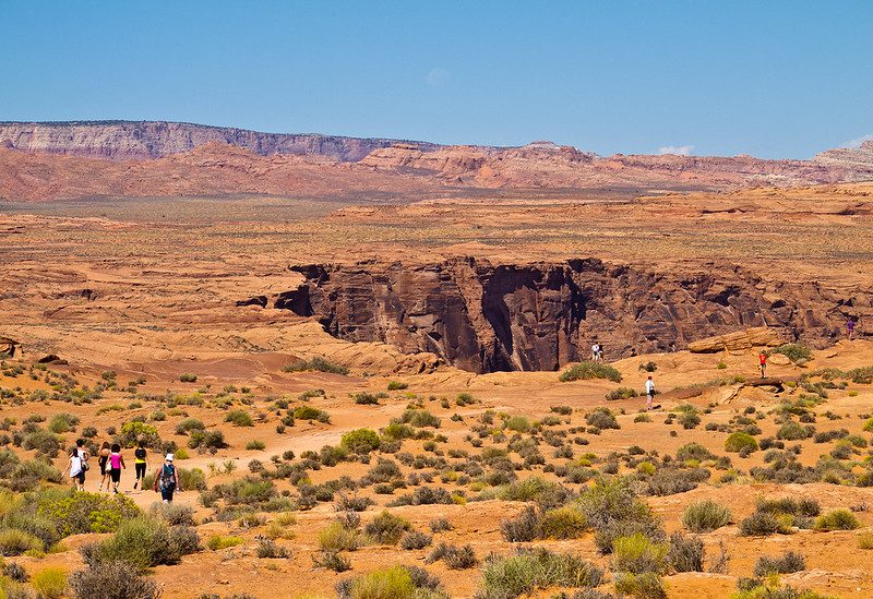
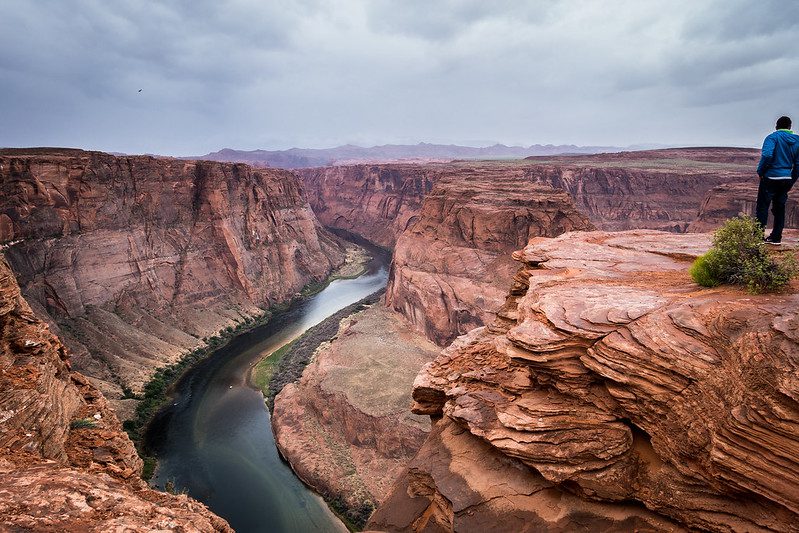
The overlook is 4,200 feet (1.300 m). The Colorado River is at 3,200ft (1,000m) above sea level. It is a drop of 1,000 feet (300m).
Horseshoe Bend is a social media hit and has been one of the most popular places in Glen Canyon National Recreation Area. The trailhead and parking lot are located on US Highway 89 about 5 miles (8km) south of Carl Hayden Visitor Center.
Geology
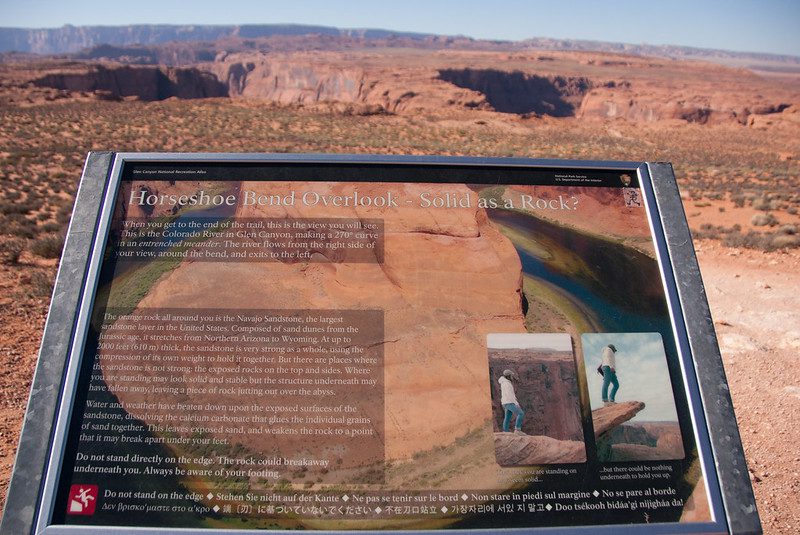
Horseshoe Bend is an excellent example of an entrenched meander. Horseshoe Bend was located six million years ago at a much higher elevation than today. The Colorado River was a meandering stream with a floodplain that was almost level.
The region was first lifted between six and five million years ago. The Colorado River was trapped in its bed and the river quickly cut down to create Horseshoe Bend, as we know it today.
Research is continuing to explore the cause of the uplift. One theory is that the cause of the uplift could have been delamination.
This would be when the lower layer of the North American plate beneath the Colorado Plateau separated and sank into its underlying mantle. This would have allowed the asthenosphere (the part of the earth’s mantle that lies beneath its tectonic plates) to heat up and lift the crust.
One possibility is that the crust’s base was heated, causing the uplift. The lowest crustal rock was transformed from eclogite (a dense rock with 3.6 g/cm 3 ) to garnet granulite (2.9 g/cm 3 ). This would have created the buoyant forces necessary to lift the region.
Whatever the reason, the uplift caused the erosion of as much as a mile of sediments overlying the eastern Grand Canyon. The Navajo Sandstone, which is the surface rock in Horseshoe Bend, was exposed.
It also forms the canyon walls at Horseshoe Bend. This sandstone is known for its iron concretions and crossbedding.
The Rincon at Lake Powell, Utah. It is an abandoned meander with an incised cutoff.
The Colorado River will likely cut through Horseshoe Bend’s neck, creating a natural bridge similar to those at Natural Bridges National Monument, Utah.
Tourism
Horseshoe Bend was popular for a long time with local residents. However, the number of visitors to Horseshoe Bend each year has increased dramatically with social media exposure. Today, the lookout attracts more than 2,000,000 visitors annually. As of 2021, the overlook charges $10 per vehicle.
Hiking
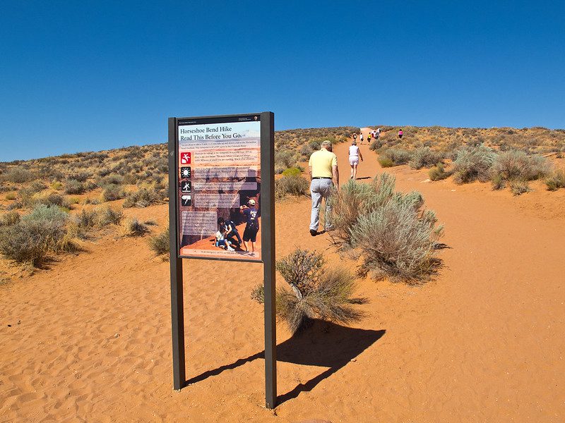
It takes 1.5 miles (2 km) round trip to reach the overlook via a well-maintained path. The Americans with Disabilities Act regulations make it accessible.
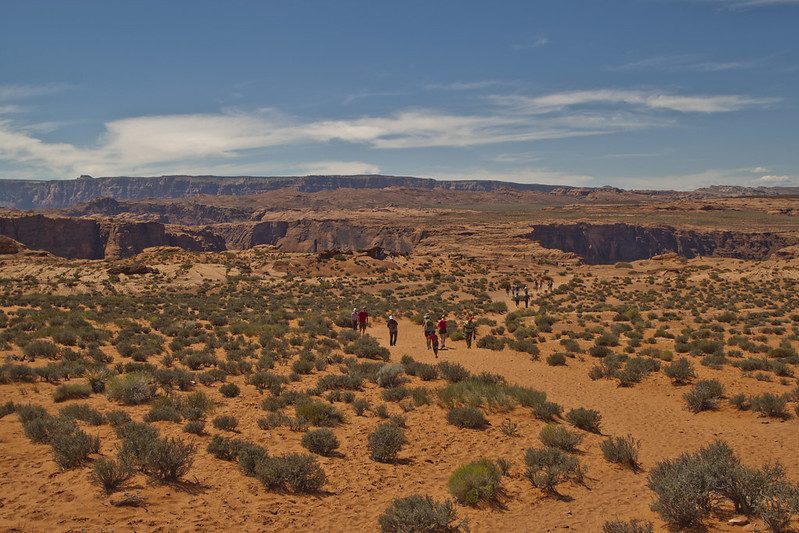
Two shade structures are located along the trail’s length, but not at its overlook. Railings can be found at the overlook’s viewing platform but not along the trail.
Be sure to bring plenty of water, sturdy shoes, sunscreen, and other essential hiking gear. The Horseshoe Bend Trail is very exposed to the sun. Avoid hiking in the hottest parts of the day.
An Entrenched Meander
The Colorado River follows a broad path around an escarpment of sandstone below the rim. The river meandered down to the sea on its long, downward journey, making wide bends at times but always looking for the path of least resistance.
The Colorado Plateau was raised about 5 million years ago and the rivers that travelled through the old landscape were left in their original beds. The rivers cut through layers of sandstone that had been uplifted over time.
One Of The Best Places To See In Arizona
This natural landmark and tourist destination in Arizona is one of the best places to go and see in the state. It’s natural beauty and awe stand out amongst the surrounding landscape.
Official Website: https://horseshoebend.com/
See Horseshoe Bend Images on Flickr


